
Storm heading towards Sardinia, municipalities raise alert: "The phenomena are worse than expected."
Nine-meter waves, a sirocco storm, and heavy rain. Capoterra is preparing for possible road and school closures: "We're monitoring the situation." Severe impact on the eastern parts of the island. The mayor of Villaputzu: "Safety first."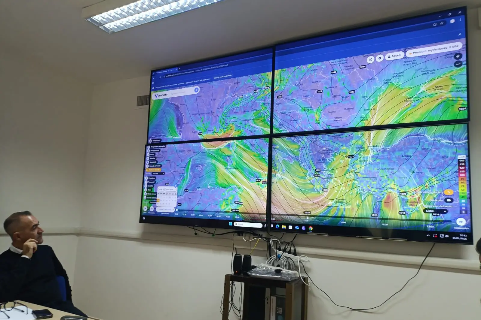
Per restare aggiornato entra nel nostro canale Whatsapp
"The forecast models do not indicate signs of improvement; on the contrary, they confirm a possible intensification of the phenomena, particularly between Monday and Tuesday, with stormy seas and widespread and locally heavy rainfall."
The cyclone expected to hit Sardinia between Monday and Tuesday could be even more intense than expected. This was announced by Capoterra's mayor, Beniamino Garau, after a meeting with experts to monitor the storm's progress and determine the potential impact on the mainland.
The low pressure system moving from the central Mediterranean toward Sardinia is bringing in huge amounts of moist air from Africa. Between January 19th and 20th, a sirocco and then easterly storm is expected, with gusts expected to reach 100 kilometers per hour, on a front so broad it could trigger waves over 9 meters high. These winds will be accompanied by heavy, prolonged rainfall.
Capoterra is a municipality under special observation, but the towns on the eastern coast and inland in the same area could be particularly affected.

"Tomorrow (today, ed.) we will proceed with a new assessment and I will implement all necessary measures and ordinances to ensure the safety of citizens. The ordinances will likely be issued on Sunday," Garau added. There is also concern for State Road 195, which could be flooded. Therefore, " particular attention will be paid to the rough seas and travel within the municipal area and towards Cagliari, to heavy rainfall and potential critical situations in the area, to possible closures of parks, sports facilities, and cemeteries. And, above all, to schools, to protect the safety of our children and young people."
On the eastern front, Villaputzu Mayor Sandro Porcu expressed concern: "We are awaiting official communications from the regional Civil Protection Department and official alert bulletins, and we are constantly monitoring the situation," he explained. "In the coming days, especially Monday and Tuesday , adverse weather conditions are expected with heavy rainfall, up to 200/300 mm, strong winds, and storm surges with waves that could reach 6/7 meters along the southern and southeastern coasts of our island. We recommend exercising maximum caution from now on and following updates and all official communications."
The situation is constantly evolving and updates will be available in the next few hours.


