
Last hot day in Sardinia, the autumn cyclone is looming: storms and strong winds are coming
Bad weather until Sunday (included), temperatures will rise next week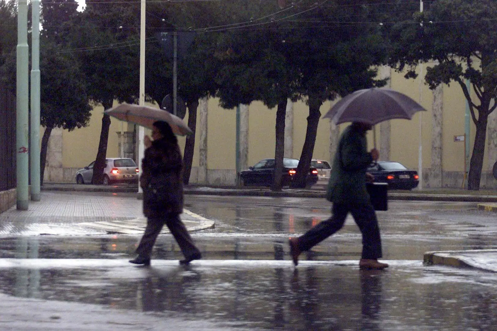
Per restare aggiornato entra nel nostro canale Whatsapp
Last hours of good weather in Sardinia .
After the record heat, the disturbance that has already hit Northern Italy from tomorrow will not only worsen but will also move to the South and to the Islands due to the first autumn cyclone.
Goodbye, therefore, at the highs that even today touch 28/29 degrees: in the next few days, storms are feared for the arrival of a cyclone that will unleash gale winds , associated with intense rains and storm surges.
A maritime polar air mass , directly from the North Atlantic, will enter the Mediterranean through the so-called Gate of the Rhone, that is, from France. The cold air will impact the high mountains of Corsica, triggering humid Libeccio winds towards the Ligurian Gulf: a complex interaction that will see in Liguria a sensitive contrast between the cold air mass and the warmer sea water with the formation of a low pressure area near the city of Genoa, called “Genoa Low” .
The cyclone will therefore initially bring bad weather to the North-West with intense rains and the first snowfalls in the Alps above 1800 meters. Phenomena, explains Andrea Garbinato of iLMeteo.it, which we haven't seen in Italy for months. Over the weekend , the cyclone will move quickly towards the South where a thermal collapse is expected up to and including Sunday.
But there is good news: next week there could be a San Martino November with sunshine and mild temperatures for another seven days.
(Unioneonline / D)


