
Sardinia, after the snow at high altitudes, the downpours are coming. Ice alert
Experts: cold and unstable weather, a new disturbance from Thursday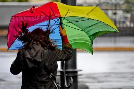
Per restare aggiornato entra nel nostro canale Whatsapp
After the snow that has whitened some areas, heavy rains are coming to the Island.
«A new disturbance is expected from Thursday evening, with cloudbursts in eastern Sardinia , Sicily and Calabria», explain the experts at IlMeteo.it.
Here is the forecast for the next few days: « More frost and snowfall at low altitudes in Italy, with a disturbed phase in the South and sunnier but freezing in the morning in the Center-North. This situation depends on the extension of the Azores Anticyclone from the Atlantic Ocean towards the British Isles, with Italy unprotected and at the mercy of icy currents coming from Russia. In the next few hours - the experts add - more snowfall is expected at hilly altitudes between Basilicata and Calabria, rain in Sicily; strong winds are also expected from Tuscany to Calabria and rough seas with waves up to 5 meters along the Adriatic, Ionian and around the Major Islands. In the Center-North the minimum temperatures will continue to be very rigid ».
Furthermore, the arrival of cold currents from the north-east continues, "capable of refueling the Mediterranean cyclone responsible for the current phase of bad weather in the South". For this reason, heavy rains are still expected over the weekend and, again in the regions of Southern Italy, "potential flooding situations" also due to the "melting of the abundant snow that has just fallen".
Meanwhile, the regional Civil Protection has launched an ice alert. A warning valid until January 16, to warn of the risk, in the internal areas and in the valley bottoms of the western sectors of the Island, of the risk of icy asphalt on the roads , due to the low temperatures, especially from sunset to dawn.
(Online Union)


