
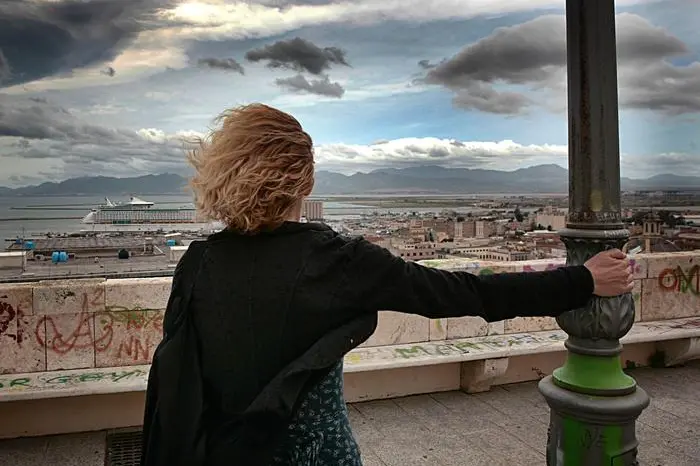
In Sardinia wind up to 100km / h, but temperatures rise
The main maritime connections between Sardinia and the Peninsula have suffered only a few delays, skip the four morning races on Santa Teresa di Gallura and Bonifacio
Per restare aggiornato entra nel nostro canale Whatsapp
From this night, Sardinia comes to terms with the strong gusts of the mistral which in some territories of the island, such as Gallura la Nurra, Sulcis and Capo Spartivento, will reach peaks of 100 km / h (50-55 knots). Colder air currents, however, collide with an anomalous rise in the minimum and maximum temperatures given by the African anticyclone already called the "Giant".
According to the Decimomannu Air Force weather office, in fact, while still today there will be the presence of rather intense north-western currents and high and stratified cloud transits, in the next few days the situation will tend to improve with a progressive increase in pressure . Temperatures will gradually tend to rise above all at altitude, with a greater thermal gain on the reliefs: the minimum will also be around 13 degrees, while the maximum ones will reach 18-20 degrees in the eastern sectors, with peaks of 21 and locally 23 degrees ". .
Meanwhile, no particular damage was recorded due to the strong wind.
DISADVANTAGES - The main maritime connections between Sardinia and the Peninsula have suffered only some delays, but they have been regular. The Genoa-Porto Torres della Tirrenia route followed the route to the east of Corsica to stay downwind, while the four morning trips to Santa Teresa di Gallura and Bonifacio at 7, 8.30, 11 and 13 were completely skipped.
(Unioneonline / vl)


