First weekend of May with sunshine, then the weather becomes unstable again
Temperatures rising with the return of high pressure: in Sardinia even 30 degreesPer restare aggiornato entra nel nostro canale Whatsapp
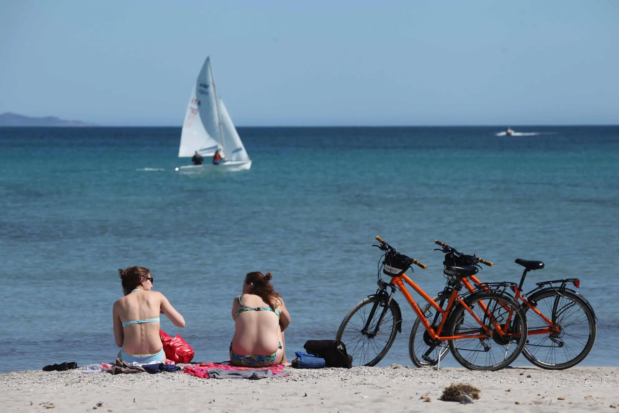
This first weekend of May will be sunny almost everywhere, with the rise of high pressure.
Minimum temperatures rising, light winds and blue skies. In particular, explains iLMeteo.it, «the wind will still blow strong Mistral over the Lower Tyrrhenian Sea and Puglia, the sky will be cloudy at times in the western sector and partially cloudy in the mountains where short and isolated heat showers in the afternoon cannot be ruled out» but «the summary sees a beautiful Saturday in much of the country. Maximum temperatures will rise significantly by up to 8 degrees with the exception of the North-West and Puglia where they will be more stable".
Tomorrow there will be a few more passing clouds in the North: temperatures are expected to rise further, both in minimum and maximum values, with completely attenuated winds and blue skies especially in the Centre-South.
Temperatures will rise up to 30 degrees in Sardinia and up to 25 degrees also in the North-East.
«The start of the new week will, however, be marked by a new Atlantic disturbance after those of the disturbed period of 1-3 May. On Monday 6th we will have a worsening in the Alps and Pre-Alps, towards Liguria and the Po Valley from the evening. The highlight will arrive on Tuesday 7th also with hail in the North and in part of the Center and from Wednesday also in the South: a cyclone will form so the weather will remain unstable for a good part of the week, gradually moving more and more towards the southern regions with an improvement elsewhere. In short, Spring will show its sunny side during the weekend, then will return to exhibiting that "disturbed variability" which is characteristic of a mid-season. We will have to wait for the summer", they conclude from iLMeteo.it.
(Unioneonline/ss)
