
Wind, strong storms and temperatures falling: a taste of autumn in Sardinia
Forecasts from Air Force specialists: a disturbance is coming from the North Sea between Thursday and Friday. There is also an alert from the Civil Protection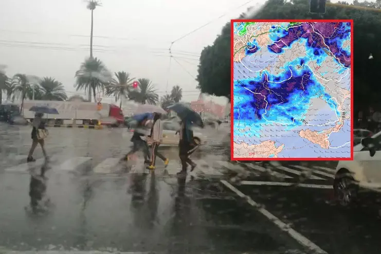
Per restare aggiornato entra nel nostro canale Whatsapp
The first signs are the strong mistral of these days, which has chased away the tropical blanket that has enveloped the island for months. But Sardinia will have a first taste of autumn between Thursday and Friday, due to the arrival of a large disturbance from the North Sea and Iceland that is heading towards the central Mediterranean. This will determine a drop in temperatures from 4 to 8 degrees, compared to the 30 degrees recorded today (at the peak), an increase in ventilation from the mistral with gusts up to storm force and the risk of storm surges on the western coasts with thunderstorms and local showers that could dump up to 40 millimeters of rain on land in six hours.
"There will be a marked change in the weather from late tomorrow morning," they explain from the weather office of the Decimomannu Air Force base, "we should have the first precipitations with local thunderstorms, an increase in cloudiness and typical autumnal characteristics. On Friday we could expect a small tailspin due to a cyclonic area over the Ligurian gulf and then a new disturbance in central northern Sardinia."
In the following days there will be an improvement, with residual instability that, on Saturday, could give rise to local precipitation in the hottest hours and in the central areas of the island. "On Sunday the weather will tend to improve and the sky will be mostly clear", explain the Air Force meteorologists, "after the drop in temperatures on Thursday with 4 degrees less, on Friday even 8 less, on Saturday the temperatures will start to rise again and will return to between 25-30 degrees".
The Civil Protection has issued a yellow alert for Iglesiente, Campidano, Montevecchio Pischinappiu, Tirso, Logudoro and Gallura. In short: for all of Sardinia except Ogliastra and Sarrabus.
(Online Union)


