
A storm surge is approaching Sardinia, prompting an alert: "Severe thunderstorms possible."
Civil Protection warning: first phenomena in the late evening in the eastern sectors then worsening in the rest of the island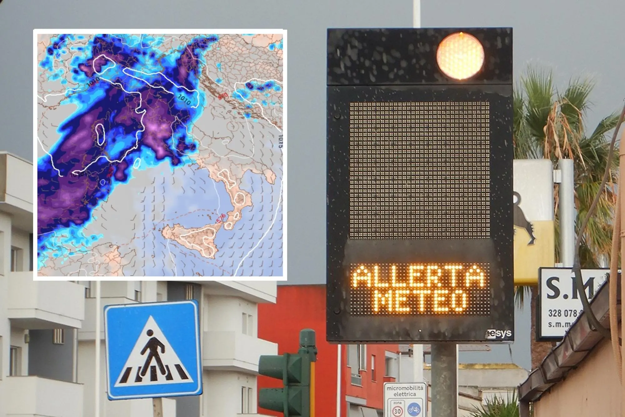
Per restare aggiornato entra nel nostro canale Whatsapp
The first phenomena are expected this evening, along the eastern coast from Sarrabus to lower Baronia. Tomorrow, however, according to forecasts, the front of the disturbance arriving from the Atlantic—which could be intense in some areas—will affect the rest of Sardinia.
For this reason, the regional civil protection has issued a yellow alert bulletin for hydrogeological risk and strong thunderstorms, valid from 2:00 PM today until 6:00 PM tomorrow.
The ARPAS weather center reports that today is expected to be "cloudy with isolated precipitation, including showers or thunderstorms, with generally light or locally moderate cumulative rainfall. Isolated strong thunderstorms are possible in the eastern sector. " Winds will be "light and variable, with strong gusts associated with the most significant thunderstorms."
Tomorrow, September 10th, with winds blowing from the west and then shifting to the northwest, "scattered precipitation is expected, including showers or thunderstorms, with moderate cumulative rainfall in the western sector. Isolated strong thunderstorms are possible in the western sector."
The phenomena will begin to ease starting in the evening.
(Unioneonline/E.Fr.)


