
Goodbye sultriness, rain and mistral winds arrive in Sardinia: "Temperatures down 4-5 degrees"
For at least ten days we can breathe again, and this is also good news for the dry basins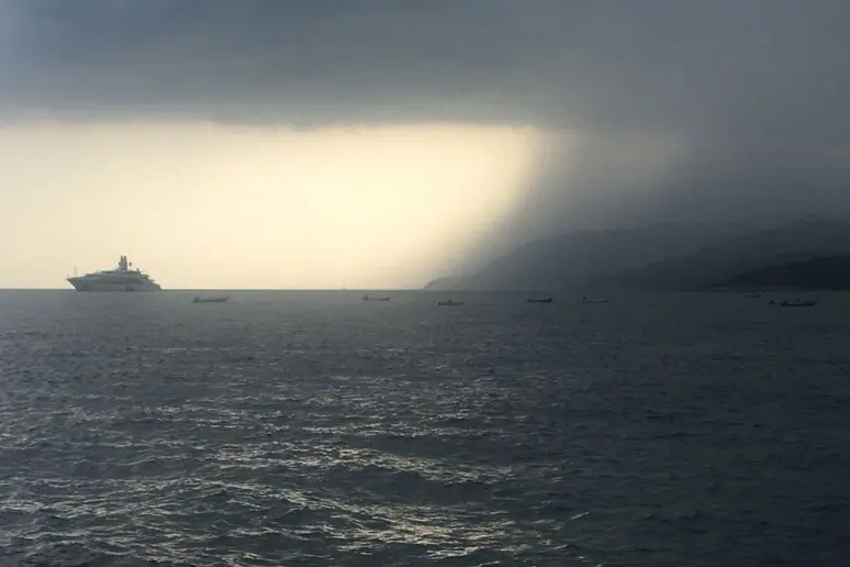
(Handle)
Per restare aggiornato entra nel nostro canale Whatsapp
The great heat of these days is already a memory. After yesterday's rains another storm front is approaching Sardinia from the Balearics .
New showers are therefore expected on the island, accompanied by a strong mistral especially between Sunday and Monday .
Then we will return to summer temperatures but without the peaks and the great heat of the last few days.
These are the forecasts of the Decimomannu Air Force: «The low pressure area currently on the Balearics is moving towards Sardinia and already this afternoon precipitation is expected locally even of a stormy nature , a change in the situation that will also occur tomorrow with this moderate instability and decreasing temperatures both in maximum and minimum values».
According to experts, there will be a drop of 4-5 degrees, with temperatures returning to 32 and a small supply of water even in the basins suffering greatly after the prolonged drought.
A further drop in temperatures will be recorded from Sunday, with a strong mistral that "will intensify on the evening of the 18th and until Monday the 19th with peaks of 50 km per hour along the exposed coasts, especially the western ones".
The wind will ease from Monday evening, but the heat will go away for at least ten days due to the arrival, starting from Tuesday, of a new anticyclone. Not African, this time, but Atlantic .
(Online Union)


