
Weather, still no rain and abnormal heat: the turning point from next week
High pressure remains over Italy for a few days, passing clouds over Sardinia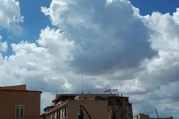
Per restare aggiornato entra nel nostro canale Whatsapp
High pressure still reigns over Italy with stable weather conditions, no precipitation and temperatures slightly increasing further.
The values are practically spring, typical of mid or late March, and the anomalous heat is also felt in the mountains, especially in the Alps, where the freezing point is above 3,000 meters above sea level.
However, over the weekend there will be the passage of a weak Atlantic disturbance: mainly clouds and sporadic rain.
On Monday, however, the first rainfall and a slight drop in temperature arrive, with a more decisive change in the following days.
According to Meteo.it, today we will observe clouds passing over Sardinia and the Centre-North; in the Po Valley fog and low clouds, more widespread in the morning and locally persistent during the afternoon in the eastern sector. Skies will be mostly clear or only partially cloudy over Abruzzo, Molise, southern regions and Sicily. Temperatures stationary or slightly increasing further, with values well above normal. Mainly light winds.
Between today and Wednesday, Italy will be affected by some weak disturbances which will bring an increase in clouds and some rain, mostly not very significant. According to the current weather trend we should also see a first slight reduction in temperatures, which especially from Tuesday 20 February should return to approaching the seasonal average.
In the second part of next week the country, according to forecasts, should return to a more wintry weather scenario.
(Unioneonline/ss)


: "There's a lack of evidence regarding their relationship with Cosa Nostra."")


