
Weather, April still unstable: rain and snow are coming at very low altitudes
But on the island a day with peaks of up to 27 degrees is expected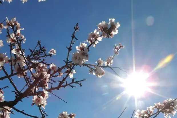
Per restare aggiornato entra nel nostro canale Whatsapp
While Sardinia experiences late spring days – today peaks of even 27 degrees will be reached -, the forecasts for the rest of Italy do not speak of sunshine but rather of temperatures well below average, a situation that will last at least until 20 April.
In the forecasts of iLMeteo.it, two cyclones are arriving: one from tonight and one over the weekend. Low pressures from the North Atlantic that will bring the most intense rainfall to the North-East and then quickly towards the Center-South: the drought will continue in the thirsty North-West, despite the arrival of about 10-30 mm of rain from today to Sunday.
In detail, today we will have moderate rainfall between Piedmont, Lombardy and Liguria with intensification in the late evening and extension towards the East and Upper Tuscany. Tomorrow will be the day with the most heated bad weather, with snow in the Alps up to 500 meters and in the Apennines above 800-1000 meters: rainfall will be abundant between Veneto and Friuli Venezia Giulia with over 100 mm of rain in 24 hours. From the afternoon the phenomena will also focus on the Center, while in the South there will be large clearings and anomalous heat, especially in Sicily.
During the weekend the second cyclone will arrive. At the moment it is expected that this new perturbation from the North Atlantic will unload other abundant rains always on the same areas, largely skipping the North-West again.
(Unioneonline/ss)


