
Two cyclones ready to “merge” over Sardinia: heavy rains on the way
Double weather “attack” from France and Tunisia. Between today and tomorrow temperatures will drop, showers and thunderstorms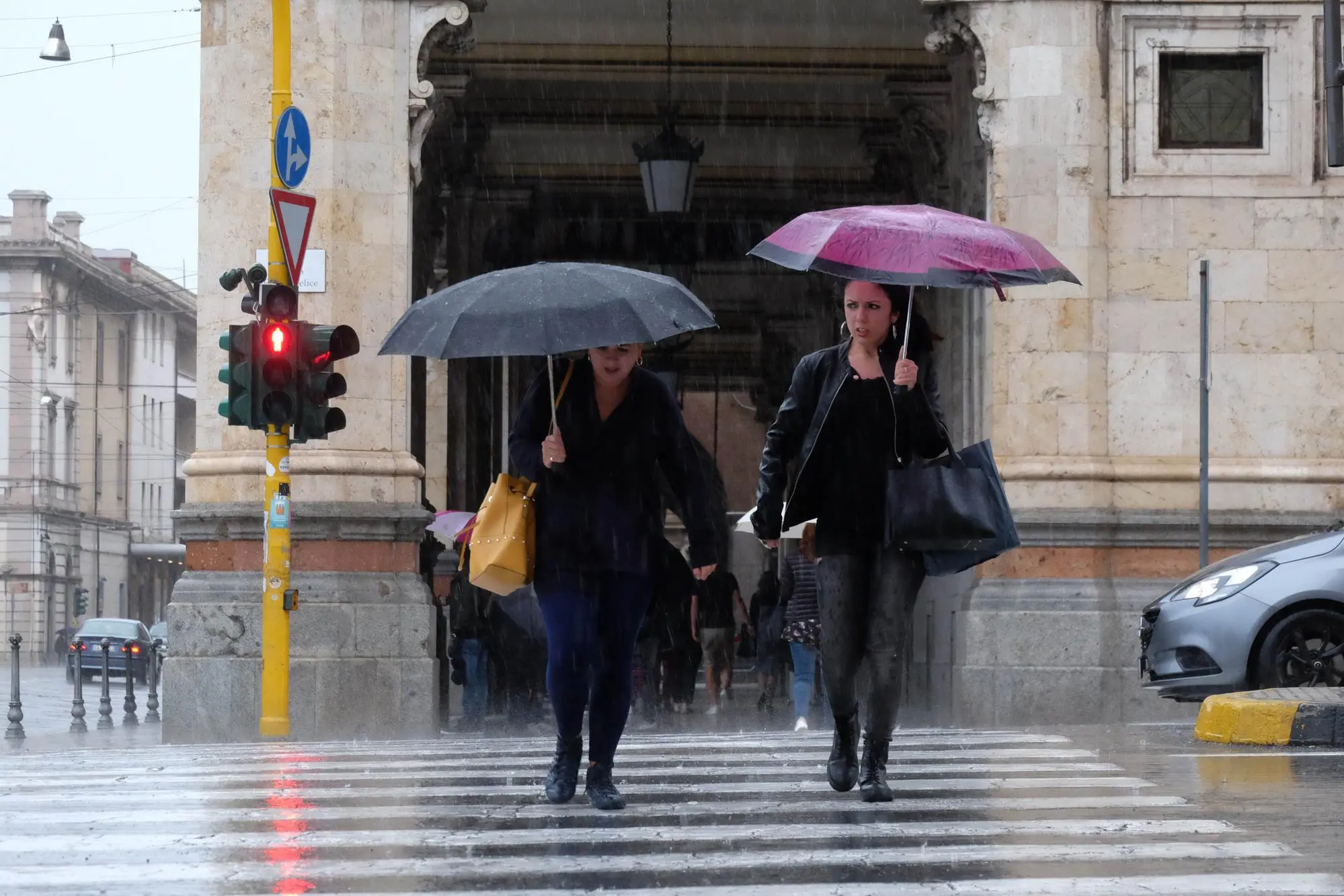
Per restare aggiornato entra nel nostro canale Whatsapp
A double “cyclonic attack” is coming to Italy, bringing with it rain and – in some areas of the country – even snow at low altitudes.
"The first cyclone - explain the experts at Il Meteo.it - is present over France and draws cold air of distant Russian polar extraction, another cyclone is centered over Tunisia". But "on Saturday we will witness the partial fusion of the two cyclones over Sardinia: the French vortex will descend towards the south, while the Tunisian one will rise towards the north" . Result: end of the "mild" Azores anticyclone, stop to spring temperatures 6-7°C higher than the average for the period and storms on the way.
This weather configuration – the experts continue – will give rise to "strong phenomena" that will begin in Sardinia between today and tomorrow and will then gradually extend to Sicily and the rest of Italy.
(Online Union)


