
Stop to the early summer in Sardinia: temperatures drop, cold and wind are on the way
10 degrees less expected, in the highest areas of the Nuoro area it will touch zero. Rain coming from Friday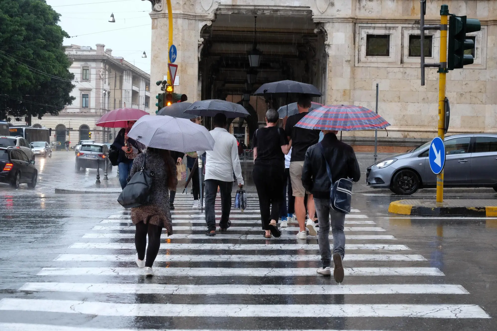
Per restare aggiornato entra nel nostro canale Whatsapp
After a weekend dedicated to the first swims of the season , Sardinia puts the swimsuit back in the drawer and prepares to put the coats and sweaters back on. After days of early summer on the island , a wave of bad weather with cold, wind and rain is arriving .
The thermometer drops by 10 degrees , with temperatures close to zero in the highest areas of the Nuoro area : these are the forecasts for the next few days, starting from tomorrow. As the experts from the Decimomannu Air Force weather office explain, «a northern European depression that extends to the central Mediterranean and fed by north-western currents will cause marked instability in Sardinia. We will have a drop in temperatures of up to 8-10 degrees, especially in the central western sector."
The drop in temperatures will begin tomorrow and continue throughout the week: today's highs will go from 28-30 degrees to 20-18 degrees . The drop in temperatures will gradually affect the whole island and will be accompanied by the arrival of the mistral from the north-west which on average will blow at around 60-70 kilometers per hour but will be strong in the Strait of Bonifacio with gusts of 100 kilometers per hour. "The seas will be rough or very rough - the experts underline - with possible storm surges along the exposed coasts". The wind will decrease from Friday, with a consequent arrival of rain with widespread precipitation from the northern sector and then extending to the whole of Sardinia. A situation that will continue into the weekend too, with low temperatures and persistent wind.
(Unioneonline/vf)


