
Severe weather, the Region: "The peak of storm surges shifted between 4 and 7 p.m."
The announcement follows the conclusion of the meeting between the Regional Civil Protection and the National Department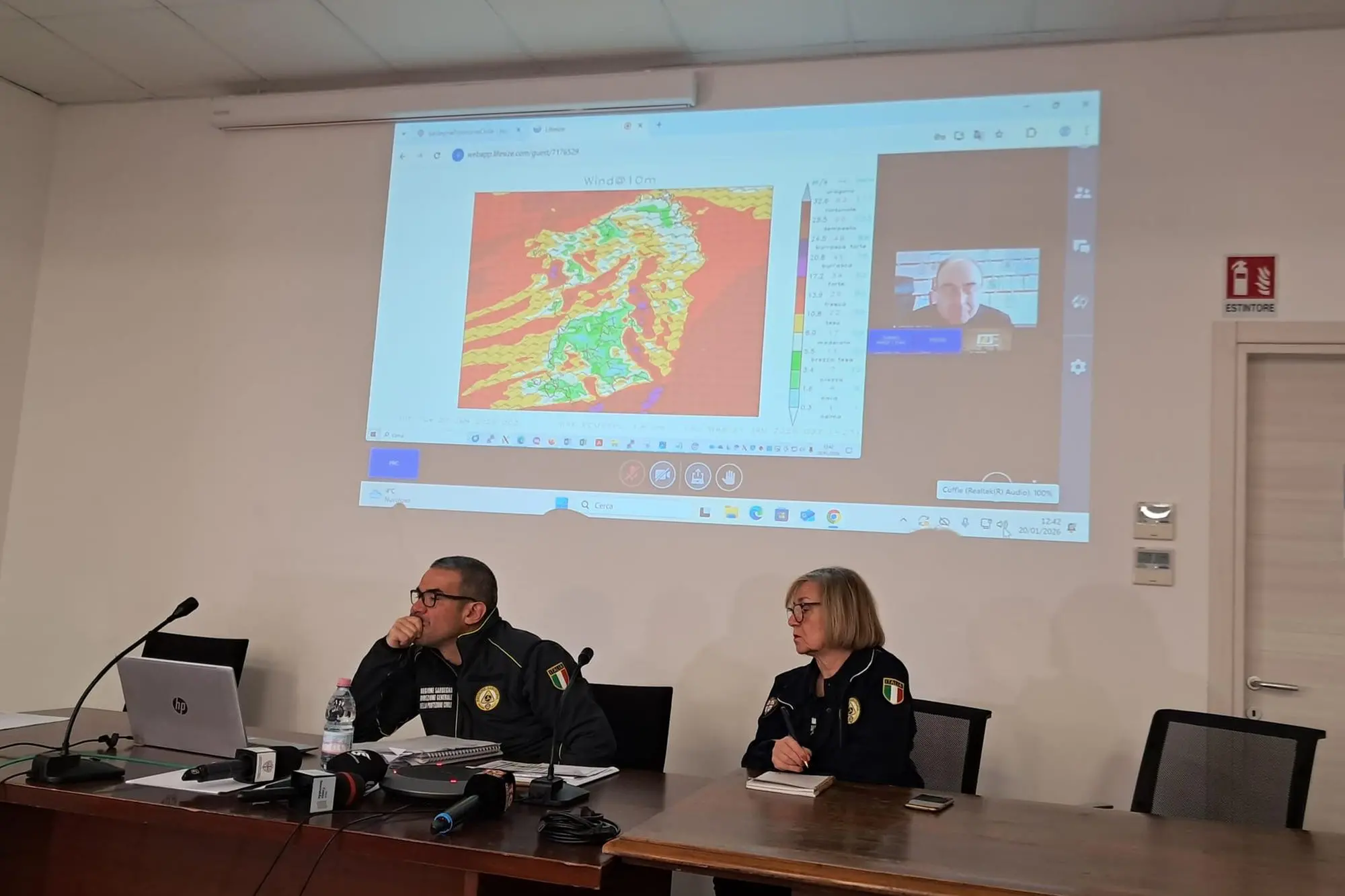
Per restare aggiornato entra nel nostro canale Whatsapp
Tomorrow, Wednesday, from lunchtime onwards, the bad weather is expected to pass . Or at least significantly ease. But these hours of Tuesday, January 20th, are still difficult in Sardinia, due to the passage of Cyclone Harry. From the Civil Protection press office in Cagliari, Director General Mauro Merella explained that " the peak of the storm surges has shifted from dawn (as was forecast) to early afternoon today ." Between 4 and 7 pm . In short, the red alert continues until midnight. Around 2 pm, a decision will be made on whether to extend it for tomorrow morning.
According to the synoptic maps projected by ARPAS, the Regional Agency for Environmental Protection, the red color still indicates "six-meter high waves," said Carluccio Castiglia of the Meteorological Department. "They could reach nine meters far from the coast."
On the rainfall front, " in some areas of Ogliastra ," Merella continued, " over 300 millimeters have been recorded." This is the amount that typically falls in six months. And that's not all: " We can't rule out further rainfall of another 100 millimeters."
With the dams full and the double risk of flooding and the risk of the structures failing ( here is the Sardinian map ), the State Road 387 will remain closed for a few hours.
HERE'S ALL THE UPDATES ON SEVERE WEATHER IN SARDINIA


