
Last thunderstorms, then the African anticyclone arrives: temperatures up to 40 degrees in Sardinia
Heatwave starting from the weekend, peak from the middle of next week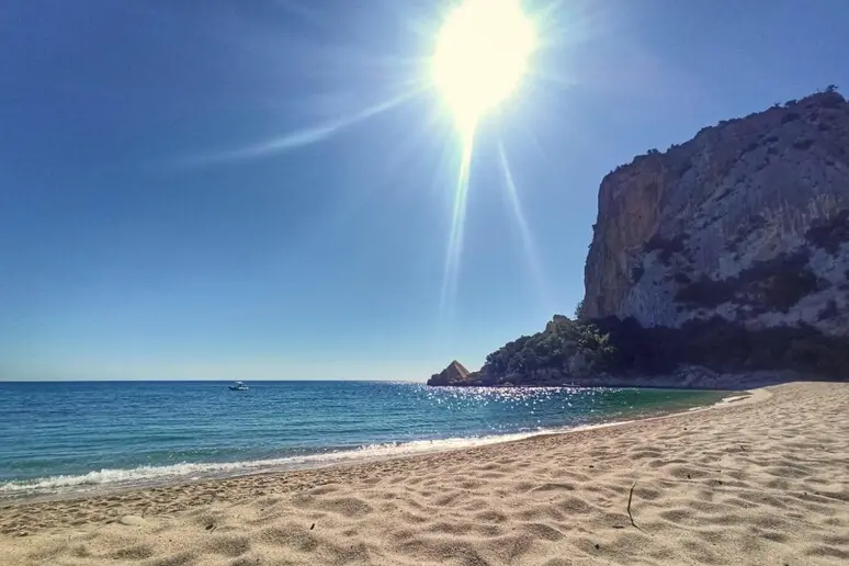
Per restare aggiornato entra nel nostro canale Whatsapp
Last strong thunderstorms then a foretaste of summer, with temperatures up to 40 degrees in Sardinia and the mercury column above 30 degrees also in Rome and Milan.
Lorenzo Tedici, meteorologist of the website www.iLMeteo.it, confirms an improvement on the way thanks to «a strong push towards the east of the Azores Anticyclone».
In the next few days, more thunderstorms are expected, which, after hitting the North-West, will move towards the North-East and the central regions. From Wednesday and even more so from Thursday, according to the expert, a "preview of summer" will break out: the days will be more stable and sunny with Rome and Milan among the hottest cities with at least 30°C . Between Friday and Sunday, temperatures will rise significantly everywhere, especially in the South . "The Azores anticyclone - says Tedici - will give way to the African anticyclone : over the weekend the heat will also increase, but there will also be a worsening in the North between Sunday 1 and Monday 2 June with new showers and also locally strong thunderstorms, but for now limited to the Alpine areas and locally to the pre-Alpine ones". "From the middle of next week - he concludes - temperatures could rise up to 10-12°C above average, not excluding peaks of 40°C in Sardinia and also in Sicily ".
(Online Union)


