

Drones with thermal imaging to locate hidden fires after the Morgongiori fire.
The Forestry Corps is using technology to prevent the fire from re-erupting.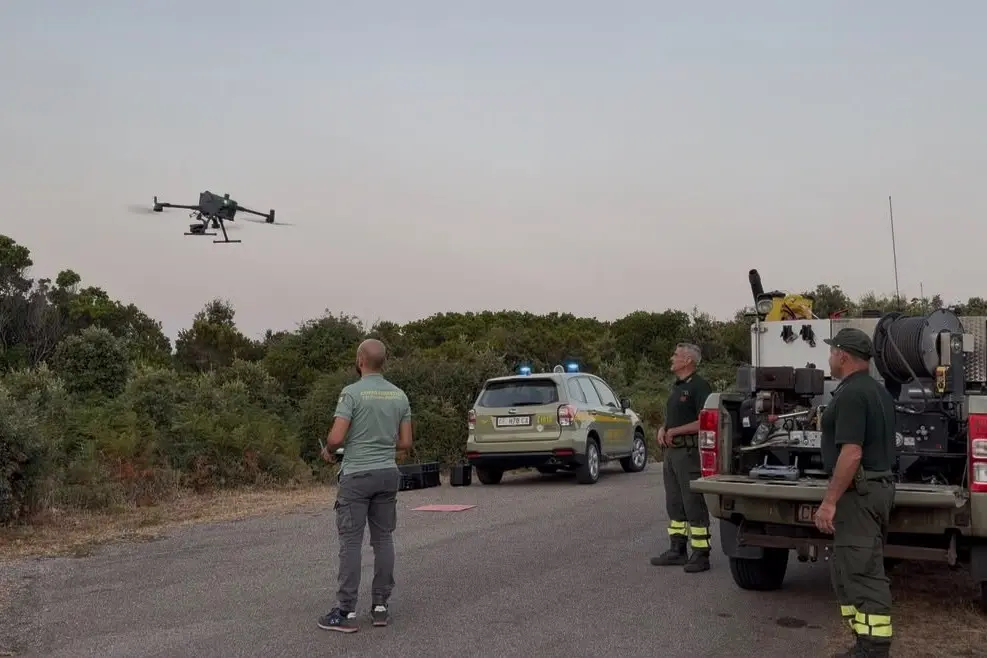
A drone used by the Forestry Corps
Per restare aggiornato entra nel nostro canale Whatsapp
Drones are used to identify active fires from above. The Forestry Corps is also using high-tech aerial vehicles with thermal imaging cameras to prevent fires from re-erupting. This morning, rangers were at work in the Morgongiori area, where a large blaze broke out yesterday.
The Oristano regional civil protection service intervened yesterday, with the Civil Protection UAS unit using two drones to identify active areas and direct teams in their cleanup operations.
This morning, since dawn, approximately 15 active hotspots have been identified, and targeted cleanup operations are already underway.
The use of drones equipped with thermal imaging cameras and artificial intelligence systems – including the DJI Matrice 400 RTK and DJI Matrice 4T models – has allowed for the speedy identification of hidden critical issues, thus preventing dangerous resurgence of the flames and at the same time ensuring maximum safety for operators on the ground, according to the Forestry Department.
(Unioneonline/E.Fr.)