
Cyclone coming: violent disturbance towards Sardinia
Trajectory difficult to predict with precision but important phenomena are expected on Thursday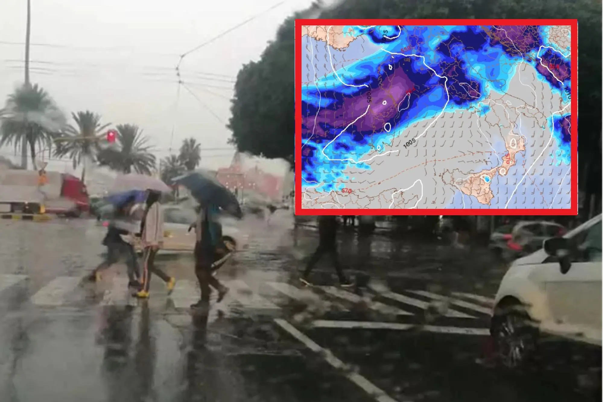
Per restare aggiornato entra nel nostro canale Whatsapp
The month of October begins with an Atlantic disturbance, descending from the North Sea and subsequently isolated over the Mediterranean Sea, which will fully invest Sardinia on Thursday. The forecast is by Lorenzo Tedici, meteorologist of the site www.ilmeteo.it.
The extensive phenomenon will isolate itself in the next few days in a "Cut-Off": this means the detachment of a cyclone from the "mother trough". In meteorology, the main danger of "Cut-Off" cyclones is represented by the difficult prediction of the trajectory: this cyclone will wander uncontrollably for 5 days over Italy, from North to South, then from South to North, bringing bad weather at least until Saturday.
In the next few hours, as mentioned, the "mother" disturbance will still be far away, between the North Sea and the Netherlands, but it will already be able to bring an initial worsening: rain is expected between Liguria and Tuscany and then, from the evening, also towards the Po Valley. In the rest of the country the weather will be mostly sunny with highs reaching 27-29°C in the South and 25°C in Rome.
The real bad autumn weather, with the formation of the cyclone caused by the Cut-Off, will arrive on Wednesday 2 October. Autumnal rains are expected from the morning on the Centre-North, in particular between Tuscany and the North-West and subsequently extending towards the North-East. The most intense phenomena are expected in the Triveneto with cumulative rainfall even exceeding 100 mm in 24 hours. In the South, however, the sun and southern winds associated with the cyclone (warm air arriving from the north of Africa) will push the maximum temperatures back above 30°C: Bari, Catania and Siracusa up to 31.
Thursday 3rd we will have the peak of bad weather, with heavy rain and thunderstorms also expanding towards the south: in the morning the most important phenomena are expected in the North-West and in Sardinia, rapidly moving towards the east. Already from the late morning a strong thunderstorm towards the Capital is not excluded, with the entire Tyrrhenian side reached by the cyclone and with rains on almost all of Italy, less probable only between Calabria and Sicily where temperatures will actually rise up to 33°C.
Afterwards, this isolated cyclone will wander uncontrollably and will most likely return northward.
(Online Union)


