
The Azores anticyclone is back: it brings sun and wind to Sardinia too
The cold gives a break for a few days, temperatures rising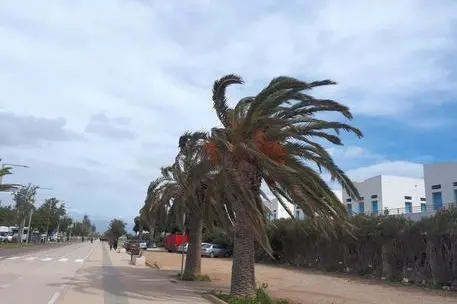
Per restare aggiornato entra nel nostro canale Whatsapp
The great cold caused by the wave of arctic air that envelops Italy is about to weaken: from the Atlantic Ocean, after having stopped near the United Kingdom for several days, the Azores anticyclone has decided to advance towards the continent.
And it will bring in particular the Mistral wind which, above all on the western coasts of Sardinia and on the Tyrrhenian coasts of Sicily and Calabria, could even exceed 60 km/h.
In most regions the sun will shine again, but if it continues to be cold at night and in the early morning, the climate will soften during the day and even more than 10-12 degrees will be recorded
A rather dry phase will thus begin, apart from some showers expected between Monday and Tuesday in the South. This situation should last throughout the week and perhaps even beyond. But be careful after February 3-4 when Italy could find itself experiencing a new wave of frost, this time coming from Russia.
(Unioneonline/ss)


