
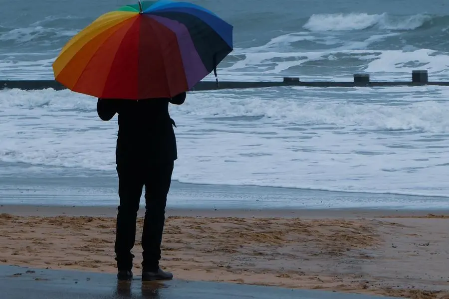
Warning in Sardinia: "In 6 hours, a tenth of the rain that falls in a year will fall"
Alarm for Tuesday. Areas most at risk Ogliastra, Gallura and most of the Sarrabus
Per restare aggiornato entra nel nostro canale Whatsapp
New bad weather alarm in Sardinia.
The Regional Civil Protection has in fact issued a new yellow alert bulletin from 3pm to midnight on Tuesday 9 November, due to hydrogeological risk linked to rains and thunderstorms in the areas of Iglesiente, Campidano, Flumendosa-Flumineddu and Gallura.
"A depression vortex is affecting the island with the influx of humid and unstable south-eastern currents - explains the first marshal Marco Formicola of the weather office of the Air Force - the sky on Tuesday will be cloudy or very cloudy, with rain in the afternoon on the southern and eastern sides ".
In the late afternoon and evening, according to forecasts, there will be a noticeable deterioration with widespread rains and locally strong thunderstorms on the eastern slopes. "In particular - specifies the expert - Ogliastra, Gallura and a large part of Sarrabus will be affected by the phenomena".
The expected cumulative will reach 50/70 millimeters in six hours (about 600 millimeters of rain fall in a year).
Wednesday 10 still cloudy skies with isolated rains always on the eastern side and a slight intensification in the afternoon. The winds will blow from sirocco until Wednesday evening with gusts of about 50 kilometers per hour.
From Thursday 11th the winds will rotate to the mistral: on Sunday, peaks of 100 kilometers per hour are expected. Temperatures will remain stationary until Thursday with highs between 20/23 degrees, and then drop to 15/16 degrees on Sunday.
(Unioneonline / lf)

 Target of the Raid")


