
A new wave of African heat arrives: high temperatures are back in Sardinia
The subtropical anticyclone from Spain will gradually touch the other regions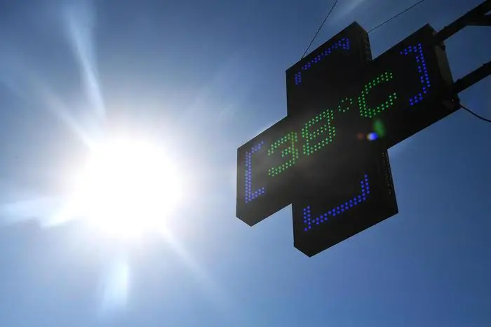
Per restare aggiornato entra nel nostro canale Whatsapp
The coolness of these days is only a passing gust, the weather forecasts announce that from Friday the subtropical anticyclone will bring African heat again for at least 10 days. So goodbye to the crisp temperatures at dawn and acceptable temperatures in the afternoon – locally almost autumnal – and again the 30°C, even above 1,550 metres.
This, explains Lorenzo Tedici, meteorologist of ILMeteo.it, «is an extraordinary meteorological data, because with the thermal gradient, which causes temperatures to increase as you drop in altitude by about 1 degree every 100 meters, this value can correspond to more than 45 degrees in the plain at sea level. In fact, since last Saturday, especially in Andalusia, temperatures have been over 40 degrees, with peaks of 45°C also in Seville, and are expected to increase further at least until Friday".
From next weekend this African anticyclone will expand towards Italy, where starting from San Lorenzo it will put an end to the Mediterranean Summer, the typical summer of the other century characterized by minimums of 15-18 degrees and maximums of 30-33°C: gradually then from Friday, starting right from Sardinia, "Italian weather will gradually return to North African".
The first 38 degrees will be recorded on the island and gradually the North African heat will invade Italy, first with a significant increase in minimum temperatures and then with maximums around 40 degrees from next week.
And this situation will remain at least until August 20th.
(Unioneonline/ss)


