
Spring and unstable weather: from 30 degrees in Sardinia to new disturbances
When it seemed that the weather had stabilized, more storms appeared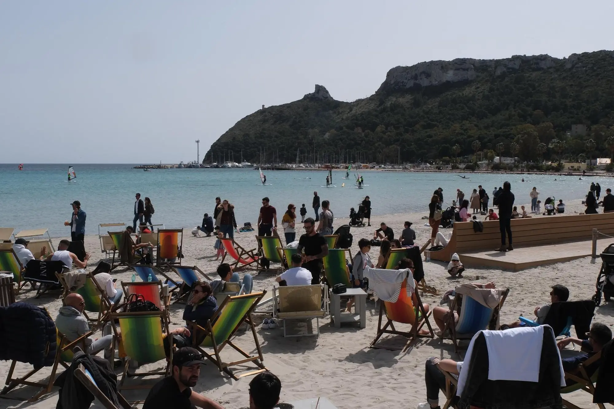
Per restare aggiornato entra nel nostro canale Whatsapp
A few sunny days made us think of spring finally breaking out. But the weather forecasts predict that this will not be the case and that, indeed, new disturbances are on the way.
Today the sun remains with temperatures well above average, in Sardinia they will reach 28-30°C in the afternoon hours, as well as in Sicily and Tuscany.
But it is only a parenthesis, explains Antonio Sanò of iLMeteo.it: a deep Atlantic cyclone positioned between the British Isles and the Iberian Peninsula will send a first storm front which will make the weather worse as early as tomorrow afternoon/evening starting from the North West and from two o'clock Major Islands.
The most intense phase is expected to coincide with May Day: the risk of thunderstorms is high, especially in the Centre-North and, due to the strong contrasts between different air masses, the phenomena could be locally intense and with hail.
Between Thursday and Friday a second unstable impulse with a new highly disturbed phase.
In short, the fluctuating phase between heat waves and stormy phases continues.
(Unioneonline/ss)


