
More mistral winds and rain in Sardinia: "The island is in a cyclone zone."
The island recovering from Cyclone Harry and the mistral wind: a new "normal"? Meteorologist Gallo: "Autumnal-like storms, too warm sea."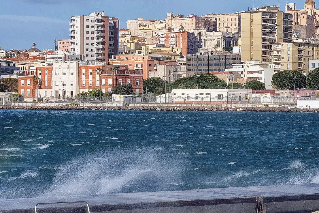
Per restare aggiornato entra nel nostro canale Whatsapp
For Sardinians, today will be a windy and unstable Sunday : "Irregular cloud cover with possible scattered light showers across the island," forecasts meteorologist Alessandro Gallo . "The mistral will still be blowing, with gusts that could exceed 50 kilometers per hour in the western and northeastern sectors ." This, after the intensity seen on Thursday (the highest recorded by the Villasimius weather station was 181 kilometers per hour), will almost come as a relief. "Maximum temperatures," continues the expert, "are slightly decreasing, and will range between 7 and 14 degrees, while minimum temperatures remain essentially stable."
Gallo is also the right person to ask the question that all Sardinians are asking themselves , after the bad weather that has hit the island in recent weeks : is this the new “normality” that we will have to get used to?
"Sardinia," he replies, "is located in what experts call a 'primary genesis zone' for tropical-like cyclones ." This situation is also linked to the sea temperature, which is too high.
