

An Atlantic disturbance is approaching, with thunderstorms also possible in Sardinia.
Temperatures drop by 5-7 degrees, bringing them within the seasonal average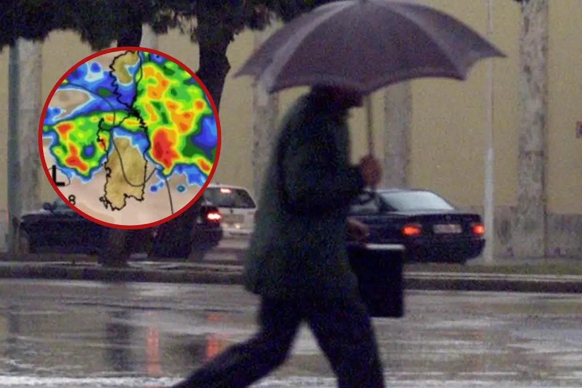
A wave of bad weather is also arriving in Sardinia.
Per restare aggiornato entra nel nostro canale Whatsapp
The anticyclone that brought a long period of stability, sunshine, and above-average temperatures is starting to weaken. An Atlantic disturbance is arriving , bringing rain and thunderstorms to the Tyrrhenian regions and a general drop in temperatures.
The first signs will be seen as early as this afternoon, as Federico Brescia, meteorologist at iLMeteo.it, points out. "The signs of this change," he says, "will manifest themselves with the onset of isolated showers and thunderstorms over Sardinia, Liguria, and the Tuscan coast."
Tomorrow, the weather will remain unstable across the same areas of the central and upper Tyrrhenian Sea, awaiting a more structured deterioration midweek. Between Wednesday and Thursday, a frontal system of Atlantic origin will cross the Italian peninsula, directly affecting much of the central and northern regions and Campania. "Due to the high surface temperatures of the Italian sea basins, still above 25°C, the energy at play will be high," states Brescia, "and could cause atmospheric phenomena of considerable intensity at times."
The mercury will drop by between 5°C and 7°C, returning to levels closer to the period average.
In detail:
- Monday 5th. In the North: Some showers in the Alps. In the Center: Increasing clouds, worsening by evening in Tuscany. In the South: Worsening in Sardinia with showers.
- Tuesday 6th. In the North: variable, possible showers in the Emilian mountains and Liguria. In the Center: rain and thunderstorms in Tuscany and Lazio. In the South: cloudy, thunderstorms in the evening in Campania.
- Wednesday 7th. In the North: worsening in the northwest. In the Center: unstable in the Tyrrhenian Sea. Better elsewhere. In the South: variable but overall dry. Outlook: a weather front passes through Thursday, more stable over the weekend.
(Unioneonline)